Build A Story-First Geography Plan
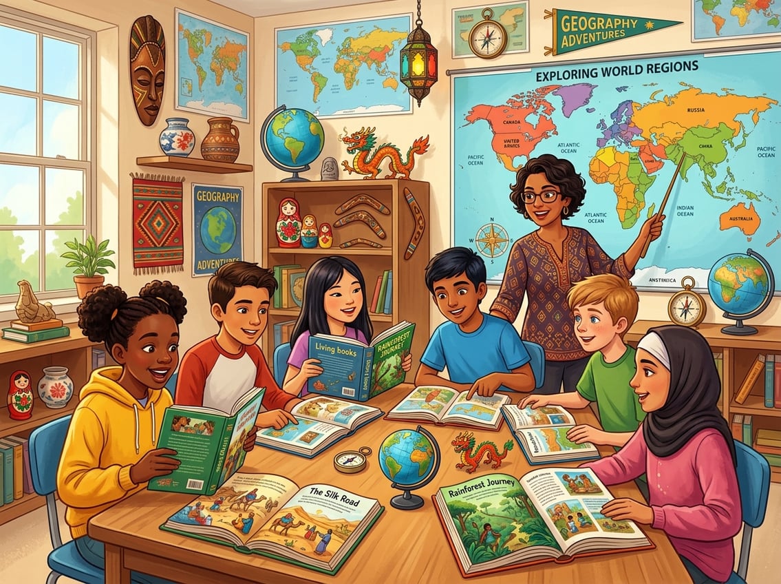
The best geography lessons feel like travel, not homework. When you anchor your studies in living books and pair them with a solid world geography curriculum, your students remember places because they care about the people who live there.
What Students Need To Learn Beyond Memorizing Places
Knowing that Brazil is in South America matters less than knowing why the Amazon Basin shapes daily life for millions. Your goal is to help students connect physical landscapes to human cultures, economies, and stories.
That means teaching spatial thinking, cultural awareness, and the ability to read and interpret maps. Most geography standards, including those aligned with the College, Career, and Civic Life (C3) Framework, ask students to analyze human-environment interaction, not just label countries.
IB programs push even further into global perspectives. Even if you’re homeschooling, keeping these benchmarks in mind ensures your child builds real geographic literacy.
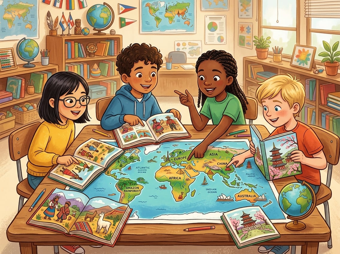
How To Pair Living Books With A World Geography Curriculum
A living book tells the story of real people in a real place. Charlotte Mason educators have championed this approach for years, and it works.
As noted by Simply Charlotte Mason, titles like Material World and What the World Eats by Peter Menzel give students a fascinating glimpse into daily life across the globe. Pair each region you study with one or two living books, then follow up with narration.
Ask your child to tell back what they learned. This simple step turns passive reading into active learning and builds curiosity far better than worksheets alone.
Choosing By Age, Interest, And Geography Standards
For younger children (ages 6 to 9), lean on richly illustrated picture books and simple map labeling. Kids ages 10 to 13 can handle chapter-length biographies and cultural narratives like those found in the Bina series or regional living book collections.
High schoolers benefit from pairing literary nonfiction with formal geography standards from your state or an IB framework. Let your child’s curiosity guide the order.
If they’re fascinated by volcanoes, start with the Pacific Ring of Fire. Interest fuels retention every time.
Teach Map Skills Through Daily Hands-On Work
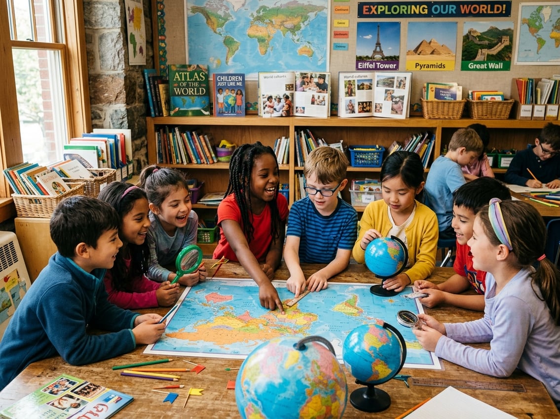
Hands-on mapping turns flat images into spatial knowledge your students actually keep. Regular practice with a world map, globe, and atlas builds the kind of geographic intuition that sticks for years.
Using A World Map, Globe, And Atlas Together
Each tool teaches something different. A wall-sized world map shows relative position at a glance.
A globe reveals true size and shape without the distortion of flat projections. An atlas offers detailed, region-by-region views with elevation, climate, and political boundaries.
Use all three in the same lesson. When you read a living book set in Kenya, have your child find East Africa on the globe first, then zoom in with the atlas, then mark it on your wall map.
This layered approach, recommended by hands-on mapping programs, reinforces location from multiple angles.
Mapping Continents, Oceans, Cities, And Landforms
Start simple. In the first few weeks, focus on the seven continents and five oceans.
Once those feel automatic, add major cities, mountain ranges, rivers, and deserts region by region. A blank outline map is your best friend.
Give your child one each week for the region you’re studying and ask them to label everything they remember. Then hand over a labeled reference map so they can check their work and add one or two new features.
Over time, the blank map fills up from memory. Keep a running list of landforms and cities covered.
This simple tracking tool shows progress and keeps you from accidentally skipping a continent.
Creating Simple Notebook Maps And Answer Keys
Notebook maps are hand-drawn maps your student creates in a dedicated geography journal. They don’t need to be perfect.
The act of drawing coastlines, labeling capitals, and coloring climate zones deepens learning in ways that printed worksheets can’t match. Create your own answer keys by photocopying a labeled atlas page or printing one from a free homeschool geography resource.
Your child checks their notebook map against the key, corrects errors in a different color, and builds accuracy week after week.
Use Digital Tools To Make Places Feel Real
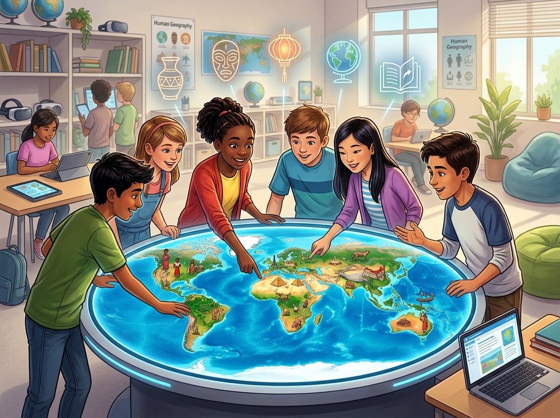
Digital geography tools close the gap between reading about a place and experiencing it. When you combine virtual field trips, interactive maps, and geographic information systems, your students explore geographic data in ways a paper map simply cannot offer.
Planning Virtual Field Trips With Google Earth
Google Earth is one of the most powerful free tools available for geography education. You can “fly” to any location on the planet, zoom into street-level views, and explore terrain in 3D.
Google Earth Education offers ready-made guided tours called Voyager stories that walk students through ecosystems, historical landmarks, and cultural sites. Try this weekly routine: after reading a living book set in a specific region, open Google Earth and take a 10-minute virtual field trip to that exact location.
Let your child navigate the landscape, look at satellite imagery, and compare what they imagined from the story to the real terrain. It turns a flat reading experience into something almost tangible.
Exploring Interactive Maps And Interactive Map Activities
Interactive maps let students layer information, toggle between political and physical views, and click on regions for pop-up data. The National Geographic MapMaker tool is perfect for this.
Students can build custom maps that display population density, climate zones, or cultural data. Another strong option comes from Esri’s GeoInquiries for world geography, which provides short, map-based classroom activities aligned to content standards.
Each activity takes about 15 minutes and requires no special software. As eSchool News has reported, interactive map activities help students who struggle with traditional textbooks engage with spatial concepts more effectively.
Introducing Web-Based GIS And Geographic Information Systems
Geographic information systems might sound advanced, but web-based GIS platforms have made them accessible even for middle schoolers. These tools let students analyze real geographic data, from rainfall patterns to migration routes, using layered digital maps.
A practical approach outlined by researchers suggests starting with a single guiding question, such as “Where do the most people live near active volcanoes?” Students then use a web-based GIS tool to find the answer visually.
This kind of spatial inquiry builds digital literacy alongside geographic thinking and prepares students for real-world data analysis.
Connect Geography To Culture, Inquiry, And Play
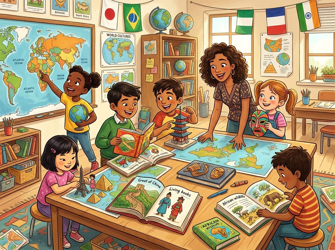
Geography comes alive when your students ask real questions, build projects, and play their way through the world’s regions. Stories spark the curiosity; inquiry and games cement the knowledge.
Using Stories To Answer Where In The World Questions
“Where in the world do people build homes on stilts?” “Where in the world does it never get dark in summer?” These kinds of questions turn geography into a detective activity.
Start each new region with a “where in the world” prompt, then let the living book you’re reading provide the answer. This approach mirrors how National Geographic’s World Cultures and Geography program uses compelling questions to drive student engagement.
You don’t need a published curriculum to do this. Just write one curiosity-driven question on a whiteboard or notebook page before each lesson.
Your child reads to find the answer, then maps the location.
Designing Project-Based Learning Around Regions And Peoples
Project-based learning gives your students a chance to go deep. Instead of skimming through ten countries in a week, spend two to three weeks on one region.
Ask your child to create something tangible: a travel brochure, a narrated slideshow, a recipe book featuring local foods, or a hand-drawn map with cultural annotations. Research published in Education Sciences confirms that combining group work, experiential approaches, and inquiry-based discussion leads to the strongest outcomes in geography education.
Even a solo homeschool student can present their project to family members for an authentic audience.
Reinforcing Knowledge With Geography Games
Geography games are the secret weapon for painless review. Online options like National Geographic’s Xpeditions archive and free map-based quiz tools let students test themselves without the pressure of a formal assessment.
Offline, you can play simple games at your kitchen table. Try “atlas races” where you call out a place name and your child finds it first.
Or play a homemade version of “where in the world” with index cards: one side holds a clue, the other side holds the answer. These quick, playful reviews build long-term recall and keep geography from ever feeling like a chore.
Frequently Asked Questions
What are some easy ways to teach geography at home without using a traditional textbook?
Read living books set in different regions, do weekly blank map labeling, and take virtual field trips with Google Earth. You can also cook foods from the countries you study and watch short documentaries.
These methods build geographic knowledge through experience rather than rote memorization.
Which living books work best for teaching world cultures and geography by region?
Material World and What the World Eats by Peter Menzel are excellent starting points because they cover families across dozens of countries. For region-specific titles, the CM Bookfinder from Simply Charlotte Mason and curated lists from living geography book collections organize recommendations by area of the world and reading level.
How do map-based geography lessons typically look week by week for homeschool families?
A common rhythm is to read a living book two to three days per week, complete one blank outline map session, and do one interactive or digital map activity. Many families also add a short narration or notebook entry after each reading.
This keeps lessons to about 20 to 30 minutes per day.
What supplies do I need for hands-on mapping activities (and what can I keep simple)?
You need a globe and a basic atlas. Blank outline maps (free printable versions work fine), colored pencils, and a notebook or binder for map pages are also useful.
A wall-sized world map is helpful but not required. Skip laminated kits and expensive sets; simple supplies give you everything you need to teach strong map skills.
How can I choose a world geography curriculum that fits a 9th grader or high school student?
Look for a curriculum that aligns with C3 Framework standards or IB geography benchmarks. Programs like myWorld Interactive: World Geography offer inquiry-based approaches with built-in mapping.
If you prefer a literature-based path, pair high-quality nonfiction with formal map work and project-based assessments to meet high school credit requirements.
How do I assess learning in a literature-based geography course without relying on tests?
Use narration (oral or written retelling) and notebook maps checked against answer keys.
Completed projects like travel brochures or region presentations are also effective.
You can track mastery through blank map progress over time.
Leave a Reply